
Houston Hackathon 2026 · Challenge 12
Make the next block
easier to walk.
SnapHOU turns sidewalk barriers into a shared, time-stamped neighborhood picture—so Foster Place can see what needs attention first.
Public demo points are illustrative examples, not verified resident submissions or City records.
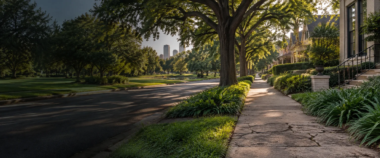
starts with one
clear note.Field-note workspace · v0.1
—visible pointsin this shared snapshot
Neighborhood board
Where walking gets harder
Loading board…
Read the map as a conversation starter. This focused MVP keeps city requests separate from community observations; nothing here files a 311 case for you.See official paths
Walking edges under reviewDemonstrative exampleApproximate block points · not a field survey
Observation list
Newest firstEvery point, readable without the map
Field note
Log one barrier in under a minute
Save a draft on this device first. Publish only when you’re ready to share it with the neighborhood board.
Official pathways
Useful next steps, sourced
SnapHOU does not claim a City response. These links are the official routes we checked for this MVP.
About this workspace
A small neighborhood tool with a clear boundary.
Built for Foster Place’s aging-in-place and pedestrian-mobility challenge. Demonstrative points are labeled. Community observations are separate from Houston 311 records. The Foster Place focus boundary and route geometry are approximate until a neighborhood partner verifies them.